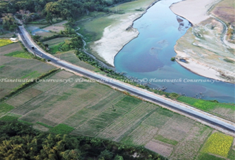
Exploring the Fusion of GIS, Remote Sensing, GPS, and UAV (Drone) Technologies
In today's dynamic world, Geographic Information Systems (GIS), Remote Sensing, Global Positioning System (GPS), and Drone technologies have revolutionized how we perceive and interact with spatial data. This fusion of technologies has opened up unique pathways for data collection, analysis, and decision-making across various fields. For example: GIS helps users visualize and understand data patterns by integrating hardware, software, and data to record, manage, analyze, and display spatial information. Understanding land cover, vegetation health, and climate patterns depend on the data that remote sensing collects from the Earth's surface without requiring direct touch. GPS uses satellite signals to give exact positioning and navigation, which is useful for many civilian applications. Drones quickly and efficiently gather spatial data and high-resolution aerial imagery, supporting emergency response and agricultural sectors with thorough assessments. The integration of GIS, remote sensing, GPS, and drone technologies amplifies their collective impact. By combining spatial data from multiple sources, analysts can generate comprehensive insights and make more informed decisions. For example, drones equipped with multispectral cameras can capture imagery for crop health assessment, which can be integrated into GIS platforms for precision agriculture planning. Similarly, GPS-enabled field data collection devices can seamlessly feed information into GIS databases for real-time spatial analysis. Thus, this fusion of technologies has opened up unique pathways for data collection, analysis, and decision-making across various fields.
